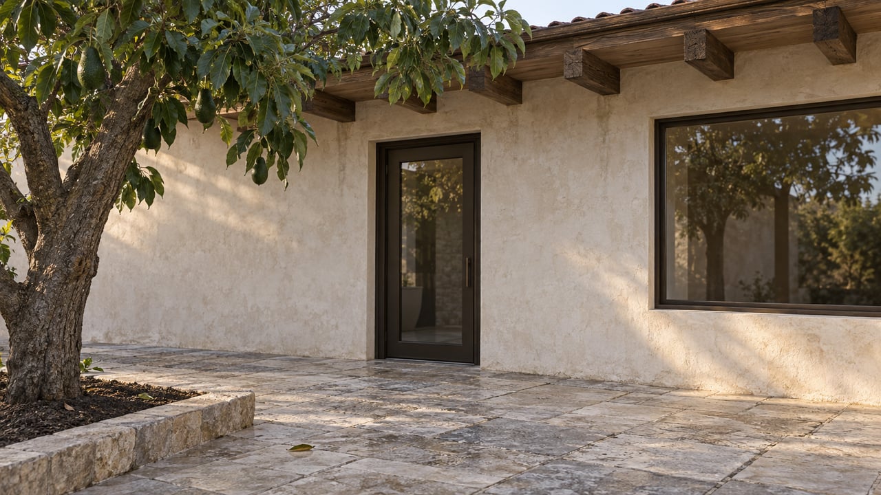
"I spent more than $200,000 to drill a well and get a permit for the well." That is Jacob Dakessian, a 90-year-old retired architect who grows lemons, avocados and persimmons on 67 acres in Somis. He followed every rule the county and the state put in front of him for three decades. Then, without suing anyone, he found out his water allocation had been wiped out entirely.
Dakessian's farm sits inside the Las Posas Valley Groundwater Basin, the aquifer that irrigates most of the avocado and citrus acreage around Somis. For years, buyers evaluating ranch and grove land here have priced it the way they'd price any farmland: acreage, road frontage, crop mix, maybe a well count. That approach just got a lot less reliable. In March 2026, a California appellate court finished settling exactly who owns the water under this ground, and the answer does not track property lines the way most listing sheets assume.
What Just Got Decided
On March 5, 2026, the Second District Court of Appeal affirmed the trial court's judgment in Las Posas Valley Water Rights Coalition v. Ventura County Waterworks District No. 1, closing out California's first comprehensive groundwater adjudication conducted under the streamlined procedures adopted alongside the state's 2014 Sustainable Groundwater Management Act. The coalition filed the case in 2018 after the Fox Canyon Groundwater Management Agency moved to sharply cut pumping across the basin. A Santa Barbara Superior Court judge split the trial into three phases: first setting the basin's Total Safe Yield at roughly 36,000 acre-feet a year, then allocating what remained among individual landowners, then appointing Fox Canyon as watermaster to run the whole system going forward. Several landowners and mutual water companies, including Mahan Ranch and Del Norte Mutual Water Company, appealed. The court rejected their challenges and left the allocation scheme intact, along with a minimum base allocation of 1.3 acre-feet per acre for those who qualified.
The basin the case covers spans roughly 40,000 acres, and Somis sits inside it.
The Line Only Approximated in Court
Fox Canyon has long managed this basin by splitting it into east and west zones, with the boundary running along something called the Somis Fault. Court filings note that the exact location of that fault has only ever been approximated during litigation. Nobody has surveyed it with the precision a title company would want on a boundary line, yet which side of it a parcel falls on can shape how it's managed under the judgment.
That is an unusual thing to build a water allocation system around. Most buyers assume the lines that govern a property are drawn by a surveyor and recorded at the county. Here, one of the lines that determines a rural Somis parcel's water future is a geological feature whose path is still a matter of expert testimony.
What a Listing Sheet Doesn't Show
Somis is a small market. LandSearch counted just three ranches on the market near Somis this year, averaging $8.8 million and about $38,910 per acre. A broader look at 28 land listings in and around town put the average price per acre at $58,152. Those two figures sit almost $20,000 apart in the same town, which is a wide spread for properties that, on paper, are all zoned agricultural and served by the same basin.
Home prices tell a similarly noisy story. Homes.com listed Somis's median single-family price at $2,950,000 as of June 2026, based on 11 active listings ranging from $1,875,000 to nearly $15 million. Movoto, pulling from the same general market that same month, put the median at $4.49 million with a median 213 days on market. When a town has this few listings, one large estate coming on or off the market swings the median by hundreds of thousands of dollars. The number itself is nearly meaningless without knowing what's actually listed.
What the adjudication does is give buyers something steadier to check than a monthly median: whether a specific parcel carries a confirmed, court-recognized water allocation, and whether that allocation traces to overlying land rights or to shares in a mutual water company. The judgment drew a clear distinction on this point. Landowners who never signed away their rights by written agreement kept their overlying water rights even when a mutual water company delivered the water to them. Companies like Zone and Berylwood, both of which serve agricultural land in the Somis area, function as delivery agents rather than as the actual holders of the water right. That distinction matters at the closing table. A parcel's water access depends on the landowner's own standing in the adjudication, not simply on which company's pipe reaches the property.
Dakessian's case shows the downside of getting this wrong. He had a valid well permit and thirty years of documented use, and the adjudication still stripped his allocation because he never joined the litigation to defend it. A well permit and a water right are not the same document, and the court's ruling treats them as such.
Questions Worth Asking Before You Price or Offer
For anyone comparing ranch, grove or equestrian acreage in Somis against similar land elsewhere in Ventura County, a few questions now matter more than acreage or frontage:
- Is the parcel a mutual water company shareholder, and if so, which company, and is that company's board aligned with the settlement or still contesting it?
- Does the seller hold overlying rights directly, or only delivery through a company share, and is that distinction documented anywhere beyond the utility bill?
- Which side of the basin's east-west management boundary does the parcel sit on, and has that assignment been formally confirmed for this specific parcel rather than assumed from a neighbor's status?
- Is the water allocation part of the final adjudicated judgment, or is it still subject to a pending motion to amend? The Santa Barbara Superior Court has fielded motions to modify individual allocations within this judgment before, so a parcel's status is worth confirming rather than assumed.
- Does a well permit on file with the county reflect an active, adjudicated allocation, or just a historical permit that predates the judgment?
None of these show up in a standard title report. They show up in the adjudication record itself, in mutual water company minutes, and in conversations with the water company's board.
Why This Matters Beyond the Grove
Somis still runs on its agricultural roots. Underwood Family Farms draws families for seasonal picking, the Somis Nut House and roadside stands sell what the groves produce, and Brokaw Nursery has supplied citrus stock to growers across the region for decades. Horse owners rely on West Coast Equine Hospital for veterinary care and on operations like Turning Point Ranch that keep the area's equestrian character alive. None of that runs without water, and an equestrian buyer irrigating pasture and running wash racks depends on the same allocation system as a grower with 40 acres of avocados. A dry well doesn't care whether the operation on top of it produces lemons or hay.
A Few Questions Worth Answering Directly
Does this affect a small horse property with no commercial crops? Yes. The adjudication covers all groundwater extraction in the basin, not just agricultural operations. Any parcel drawing from a well or a mutual water company inside the basin boundary is subject to the same allocation framework.
Is the ruling final, or could it still change? The Court of Appeal affirmed the judgment in March 2026, and the window for the losing parties to seek California Supreme Court review closed shortly after. Barring further appellate action, the framework stands as the operative law of the basin, though the Santa Barbara Superior Court retains authority to hear individual motions to modify specific allocations.
Does this only apply in Somis? The Las Posas Valley Basin adjudication covers roughly 40,000 acres of this part of Ventura County, so the same allocation rules apply to ranch and grove land throughout that footprint, not to Somis alone.
If you're comparing ranch, grove or equestrian properties in Somis and want a read on what a specific parcel's water standing actually looks like before you write an offer, Jenna Kaye has spent years working through exactly this kind of due diligence with sellers and buyers of Ventura County land. Reach out for a private consultation and a tailored plan for what to check before you price or make an offer.